

Description
When accuracy takes flight — discover the power of airborne LiDAR surveys.
LiDAR (Light Detection and Ranging) is an advanced remote sensing technology that uses laser pulses to measure distances with exceptional precision.
When mounted on helicopters, LiDAR systems deliver highly accurate topographic data for various applications, including:
🏗️Infrastructure planning |🌲 Forestry |⛏️ Mining |🌊 Flood risk assessment |⚡ Powerline inspections
Advantages of Helicopter-Based LiDAR Surveys
1️⃣ High Precision & Accuracy
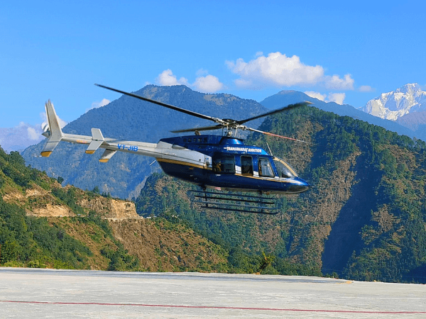
✔️ Helicopters allow LiDAR sensors to operate at lower altitudes than fixed-wing aircraft, ensuring high-resolution data.
✔️ Capable of capturing fine details in complex terrains such as forests, urban zones, and mountainous regions.
2️⃣ Flexibility & Accessibility
✔️ Can operate in challenging environments where fixed-wing aircraft or ground surveys are impractical.
✔️ Ideal for dense vegetation, rugged landscapes, and hard-to-reach locations.
3️⃣ Efficient Data Collection
✔️ Covers large areas quickly compared to ground-based surveys.
✔️ Reduces project time, making it cost-effective in the long run.
4️⃣ Multi-Sensor Integration
✔️ LiDAR systems can be paired with RGB cameras, thermal imagers, and hyperspectral sensors for comprehensive data analysis.
5️⃣ Safe & Non-Intrusive
✔️ No need for ground contact — minimal environmental disturbance.
✔️ Ideal for hazardous or restricted zones, ensuring safe and accurate surveying.
-
Infrastructure & Urban Planning – Road, railway & bridge surveys | Smart city planning & 3D mapping
-
⚡ Powerline & Utility Inspections – Vegetation monitoring | Powerline sag & clearance analysis
-
⛏️ Mining & Geological Mapping – Mineral exploration | Fault line & structure mapping
-
🌲 Forestry & Environmental Monitoring – Tree canopy & biomass estimation | Habitat assessment
-
🌊 Flood Risk & Disaster Management – River basin & floodplain mapping | Post-disaster assessment
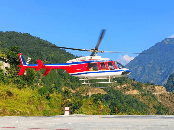
Our Helicopter LiDAR Survey Capabilities
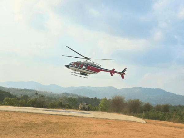
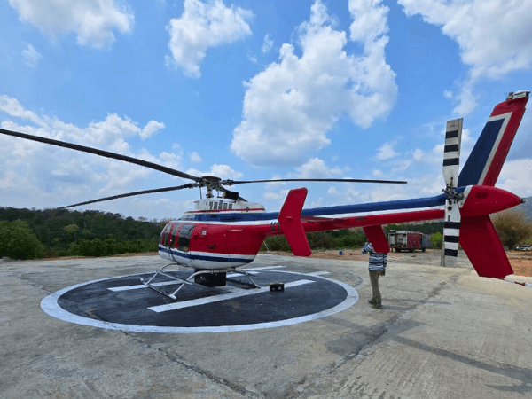
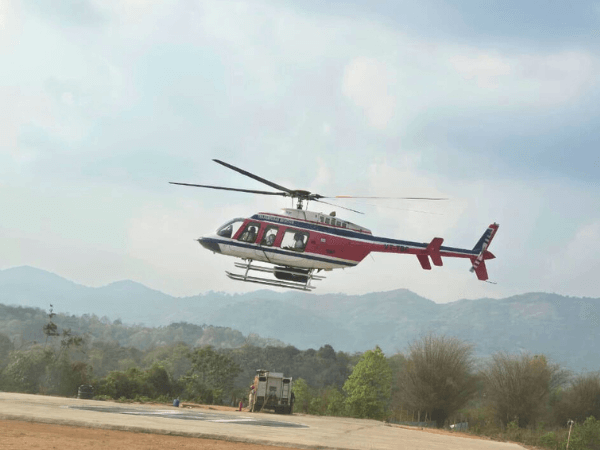
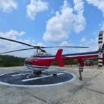
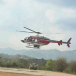
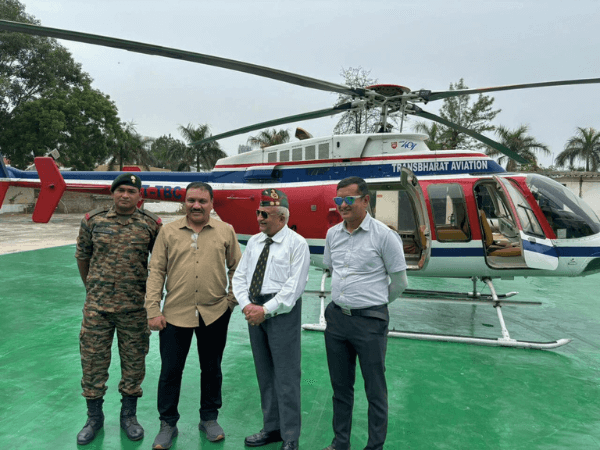
M/s Trans Bharat Aviation Pvt. Ltd. offers cutting-edge LiDAR survey solutions using state-of-the-art helicopters and advanced LiDAR technology.
Our team of experts ensures accurate data acquisition and detailed analysis, delivering actionable insights for your projects.Why Choose Us?
✔️ Experienced aviation and survey professionals
✔️ DGCA-approved operations with top-tier safety standards
✔️ Tailored survey solutions for diverse client needs
✔️ Fast deployment and efficient execution
📞 For more details or to request a consultation, contact us at:
📧 infotransbharat@gmail.com
📞 011 4566 5643
🌐 https://transbharat.in/
Reviews
There are no reviews yet.